LTA Education
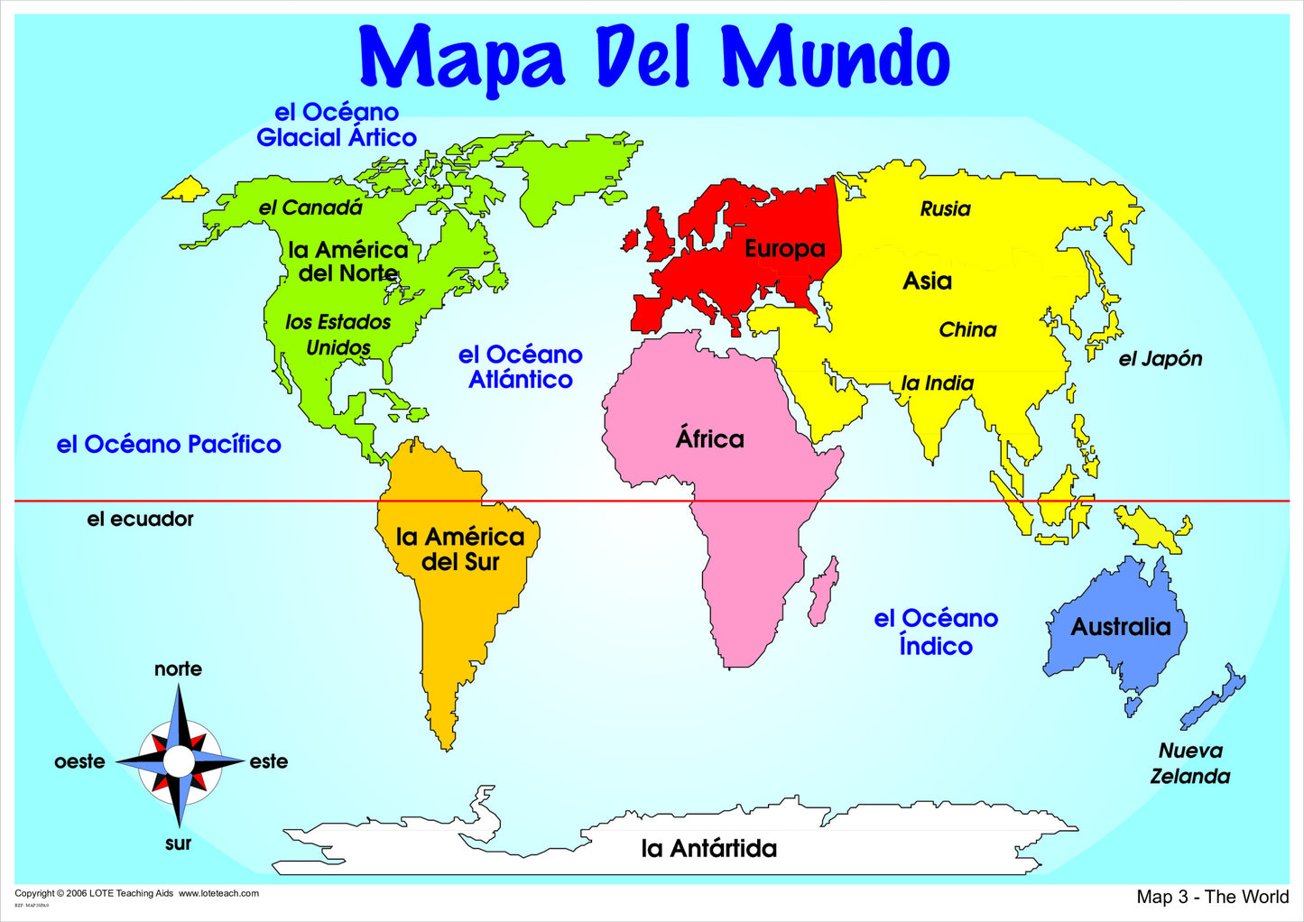
World Map
World Map
SKU:MAP3CHA2
Couldn't load pickup availability
The World Map is a structured visual reference designed to support students in learning, recognising and confidently using the names of the continents and oceans in the target language.
By presenting the continents and oceans clearly and consistently in the chosen language, this chart provides repeated exposure that supports accurate recognition, pronunciation, and retrieval of geographical vocabulary during classroom instruction and discussion.
Designed for classroom teachers, specialist language teachers and homeschoolers, this chart functions as an instructional tool by keeping key geographical language visible so students can actively use the target language when talking about places, countries and the wider world.
How this chart supports target language learning
- Provides ongoing visual input of continent and ocean vocabulary in the target language
- Supports accurate recognition and recall of geographical terms
- Reinforces language used to describe location and place
- Enables students to independently reference and use geographical vocabulary
Share