1
/
of
1
LTA Education
Maps: Detailed
Maps: Detailed
SKU:MAP5FRA3
Regular price
$13.90
Regular price
Sale price
$13.90
Quantity
Couldn't load pickup availability
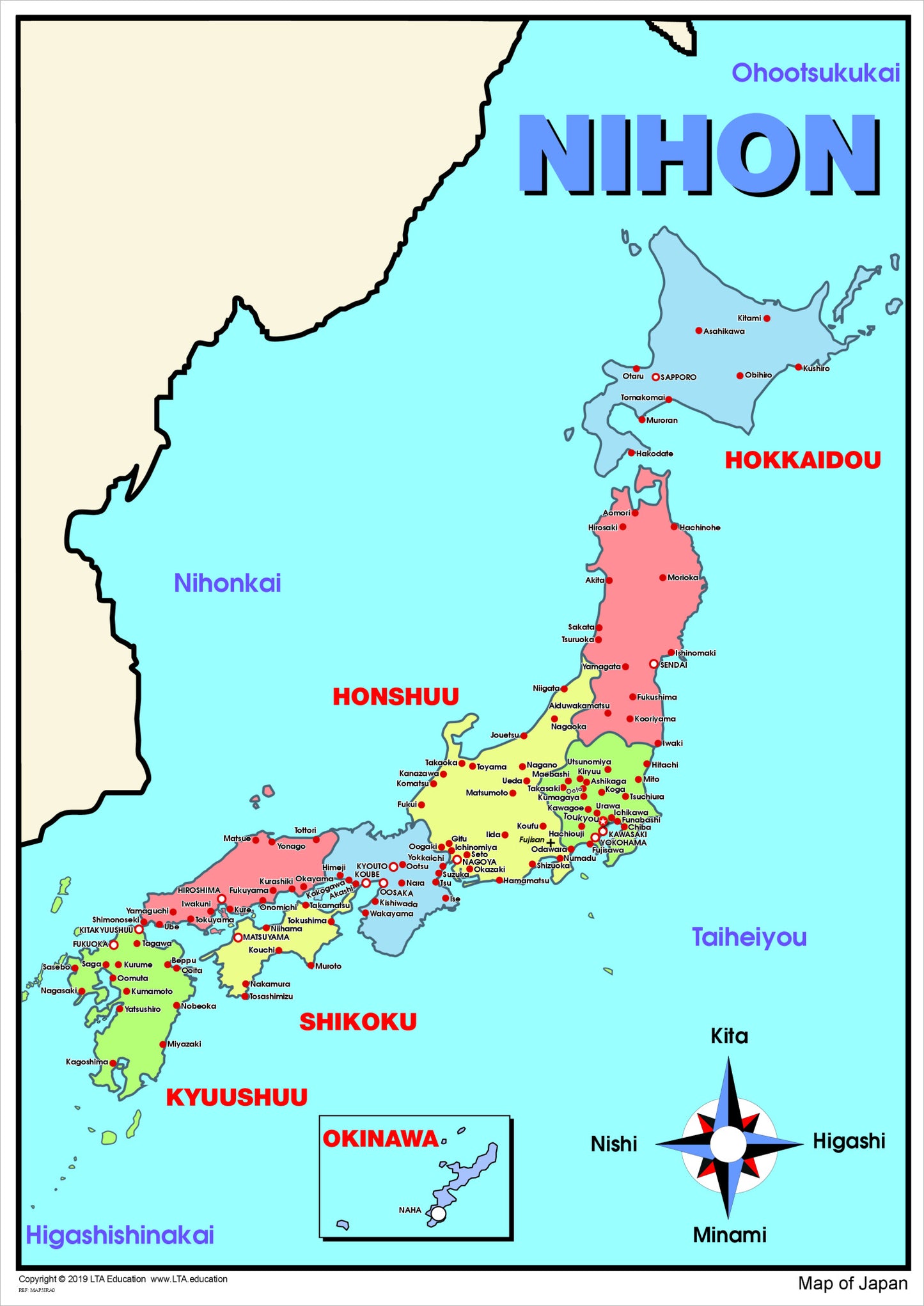
The Country Maps are clear, detailed visual references designed to support geographical understanding through accurate and accessible mapping.
Each map shows regions, capital cities, major cities and key physical features, including major rivers and mountain ranges with labels in the target language. The clear layout makes the maps suitable for classroom display and ongoing reference across a range of learning areas.
How this chart is used
- Classroom wall display for ongoing reference
- Teaching country geography and regions
- Identifying capitals and major cities
- Exploring physical features such as rivers and mountains.
The detailed yet uncluttered design allows students to locate information easily and supports repeated use during lessons.
Share